নেভিগেশনাল তথ্য
|
Navigational Information |
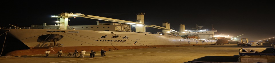
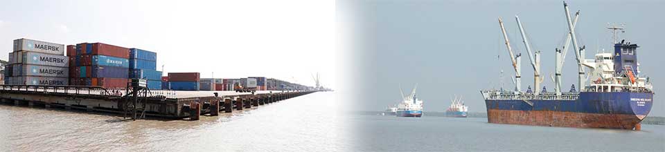
• Vessels of 6.0m. to 9.5m draught can take berth in anchorage, mooring buoys and jetties. • Maximum LOA of vessels: 225 meters • Tidal range: between 1.2 and 3.5 meter • Pilotage : Compulsory • Night navigation is permissible for outward and inward movement of ships up to 175m LOA. • 64 Lighted buoys are available at the Channel. “Conical shape" buoys are on starboard side and "can shape" buoys on the port side. |
|
Hydrographic Information |
The tides are important for navigation as determines the possibility of crossing the shallow outer bar at the entrance. The tides are semi diurnal with prominent diurnal effect. The approx. tidal range is between 1.2m to 3.5m all over the channel. |
|
Anchorage |
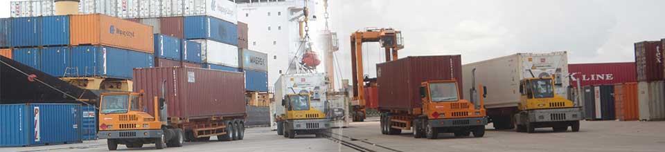
Mongla port consists of shore-based facilities and a sheltered anchorage in the Pussur River. Depth of water available at the anchorage is from 5.9m up to maximum 17.0m of LLWD. Distance from Mongla fairway buoy to Mongla port Jetty is 71 Nautical miles. |
|
Maximum Size of Ships |
Ships drawing up to 9.5m can cross the bar in all seasons. During S.W Monsoons vessels up to 10.5m can cross the outer bar in spring tide. |

স্বাধীনতার সুবর্ণজয়ন্তী

প্রকাশনাঃ বদলে যাওয়া দৃশ্যপট

অভ্যন্তরীণ ই-সেবাসমূহ
- ওয়েব মেইল
- চাকুরীর আবেদন
- মামলা ব্যবস্থাপনা সিস্টেম
- পোর্ট অটোমেশন এন্ড অফিস অ্যাপ্লিকেশন সিস্টেম (অভ্যন্তরীণ নেটওয়ার্ক)
- ই-পেমেন্ট সার্ভিস
কেন্দ্রীয় ই-সেবা
গুরুত্বপূর্ণ লিংক
- বাংলাদেশ শিপিং কর্পোরেশন
- বি আই ডাব্লিউ টি এ
- বি আই ডাব্লিউ টি সি
- নৌ-পরিবহন মন্ত্রণালয়
- চট্টগ্রাম বন্দর কর্তৃপক্ষ
- জাতীয় তথ্য বাতায়ন

জাতীয় সংগীত
ইনোভেশন কর্নার

সামাজিক যোগাযোগ


জরুরি হেল্পলাইন নম্বর